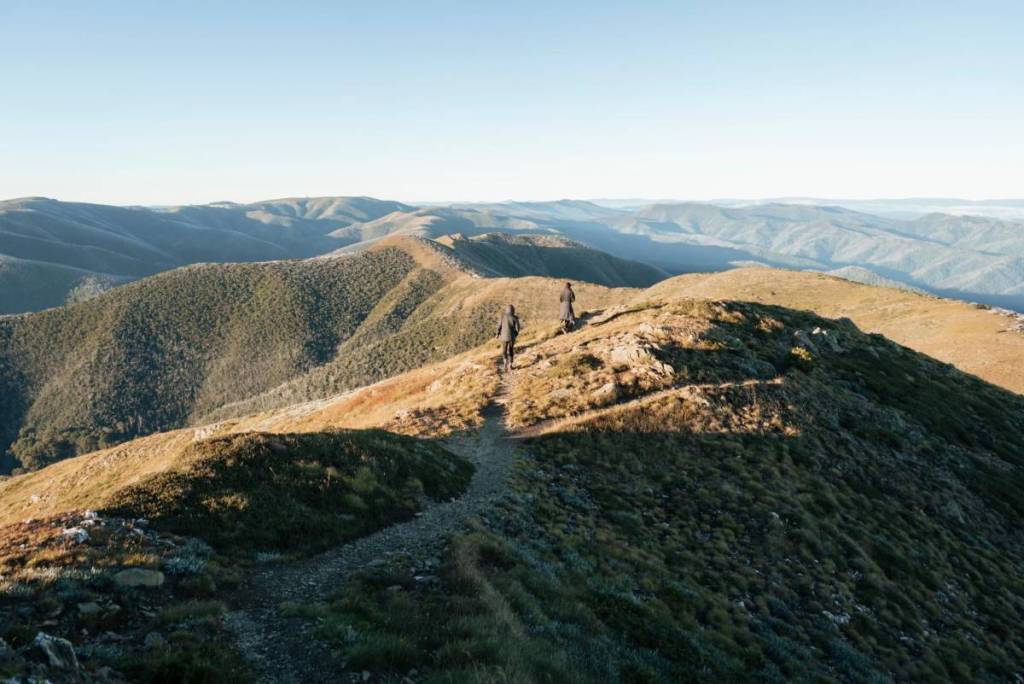

If you love stretching your legs on a good hike, there’s so many choices, with easy walks near Melbourne, walks you can reach by public transport, forest trails, coastal strolls and more! And if you’re ready to take things to the next level, AllTrails has revealed the top backpacking routes in Australia, so you can go on even longer adventures. And one mountain trail in Victoria was named as the second best route in the country. Challenge yourself by hiking along the Razorback Walk to Mount Feathertop, Victoria’s second highest peak. This 22km return journey will take up most of your day, and reward you with utterly spectacular views as you journey along the craggy spine. Your journey begins at the carpark of Diamantina Hut near Mount Hotham, roughly 4.5 hours away from Melbourne.

Razorback Walk to Mount Feathertop
Starting from the hut on the side of the Great Alpine Road, you’ll first descend into the Big Dipper saddle, passing through low shrubs, snow gum woodlands and open snow grass, and on to the rocky bluffs. The route is mostly above the tree line, offering up panoramic views of the surrounding mountains, valleys and alpine meadows.
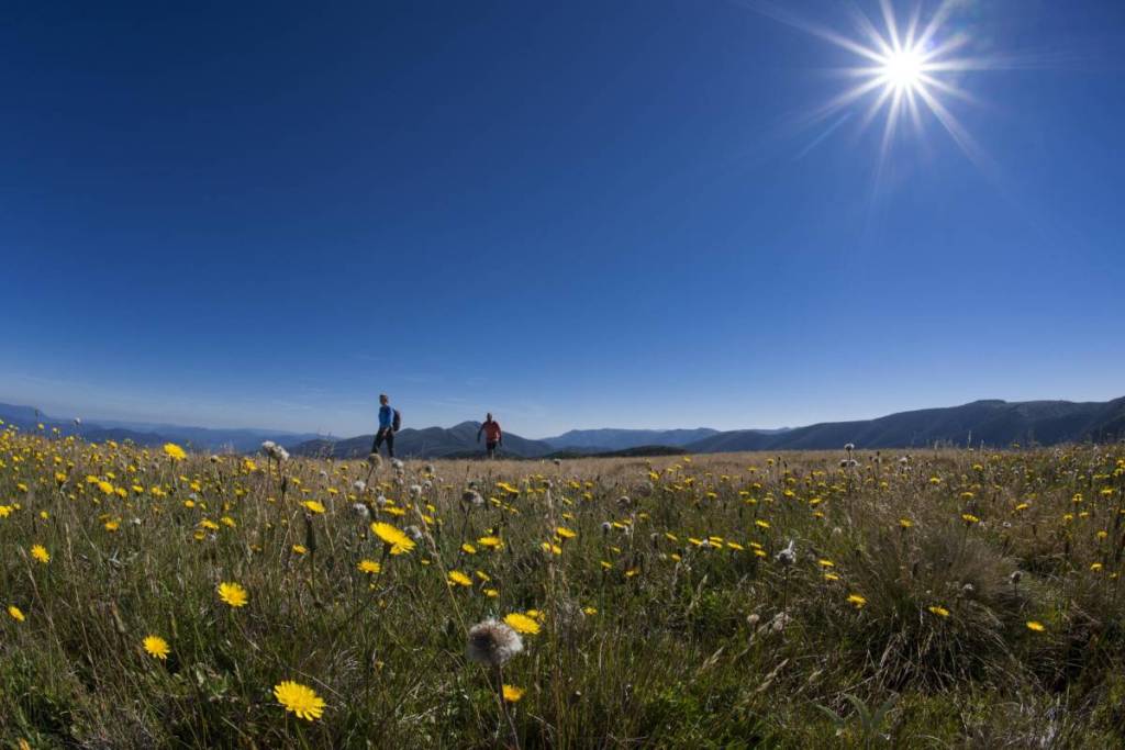
About 10.5km into your journey the Razorback trail intersects with the Bungalow Spur Track, another lengthy route to Mount Feathertop. This section is known as The Cross. From here, it’s a steep, 1.5km climb to the summit, where you’ll be rewarded with jaw-dropping views of the landscape below.
Return back the way you came, or if you’re keen for something different, you can switch over to the Bungalow Spur Track, which will lead you to the town of Harrietville.
The Razorback trail can be done in a day, taking around 8 hours. Or, you can break up the journey, and stay overnight at Federation Hut.
This steep track comes with obstacles and rough sections, so bushwalking experience is recommended.
Things to know
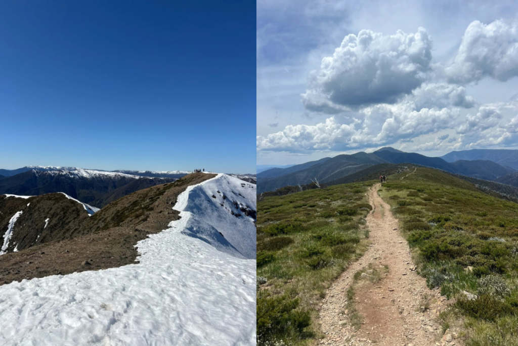
The best time to hike to Mount Feathertop is between November and April, when the weather is warmer. If you are hiking in spring, there may still be patchy snow on the ground. Hiking in alpine conditions comes with unpredictable weather, so you’ll need to be prepared with layers, waterproof gear, sturdy shoes, sunscreen, a hat and sunglasses. As you are walking along the ridgeline, this trail is particularly exposed to the elements, so be prepared for windy conditions. You should not attempt this hike if the forecast looks bad.
Remember to bring food, a phone, a first aid kit, a whistle and a map. It’s recommended that you carry at least three litres of water per person. There is untreated tank water at Federation Hut, and a natural spring around 500 metres down the Northwest Spur Track, but you should not rely on them, particularly during the hot summer months.
Learn more about the trail here.
More long hikes in Victoria
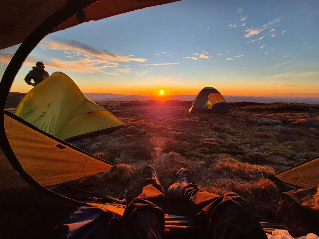
If you can’t get enough of hiking, AllTrails has also listed Mount Bogong Loop via Staircase Spur and Eskdale Spur Trail among the top backpacking routes in the country. This trail is also located in Victoria’s High Country, and is a steep 20km trek to the summit of Mount Bogong.
For something a little closer to home, Two Bays Trail in Arthurs Seat also made the list. Stretching across 26km, it’s the longest continuous hike in the Mornington Peninsula, taking you from Dromana to Cape Schanck.
Top 10 backpacking routes in Australia, according to AllTrails:
- Snowies Alpine Walk: Main Range Walk, NSW
- Mount Feathertop via The Razorback, VIC
- Arm River Track to New Pelion Hut, TAS
- Mount Kosciuszko Summit Walk, NSW
- Northbrook Mountain, QLD
- Breadknife and Grand High Tops Walk, NSW
- Mount Bogong Loop via Staircase Spur and Eskdale Spur Trail, VIC
- Cape to Cape Track: Cape Naturalise, Smiths Beach, WA
- Mount Jerusalem Trail – The Temple and Solomon’s Throne, TAS
- Two Bays Trail, VIC